3D machine control uses satellites, site base stations, and a digital 3D model of your project to guide equipment automatically.
If you build, maintain, or own roads in Kentucky, you have likely heard about 3D machine control. It shows up in bid specs, on pavers and graders, and in conversations about closing lanes faster. This guide explains what it is in plain language, how it works, and when it delivers a measurable return. You will also see how Scotty’s Contracting & Stone puts 3D control to work across design and field execution to shorten schedules, reduce rework, and improve safety on roads, interstates, and commercial sites.
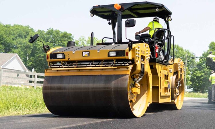
3D machine control uses satellites, site base stations, and a digital 3D model of your project to guide equipment automatically. A grader, dozer, or paver reads its exact position in real time and adjusts the blade or screed height to match the engineered design. Instead of staking every 25 feet and checking with string lines, the machine constantly compares where it is to where it should be, then makes micro adjustments. The result is a finished grade and mat that meet spec the first time, with fewer passes.
In practice, a 3D machine places material only where it is needed. That improves yield on aggregate and asphalt, reduces wasted trucking, and saves labor on rework.
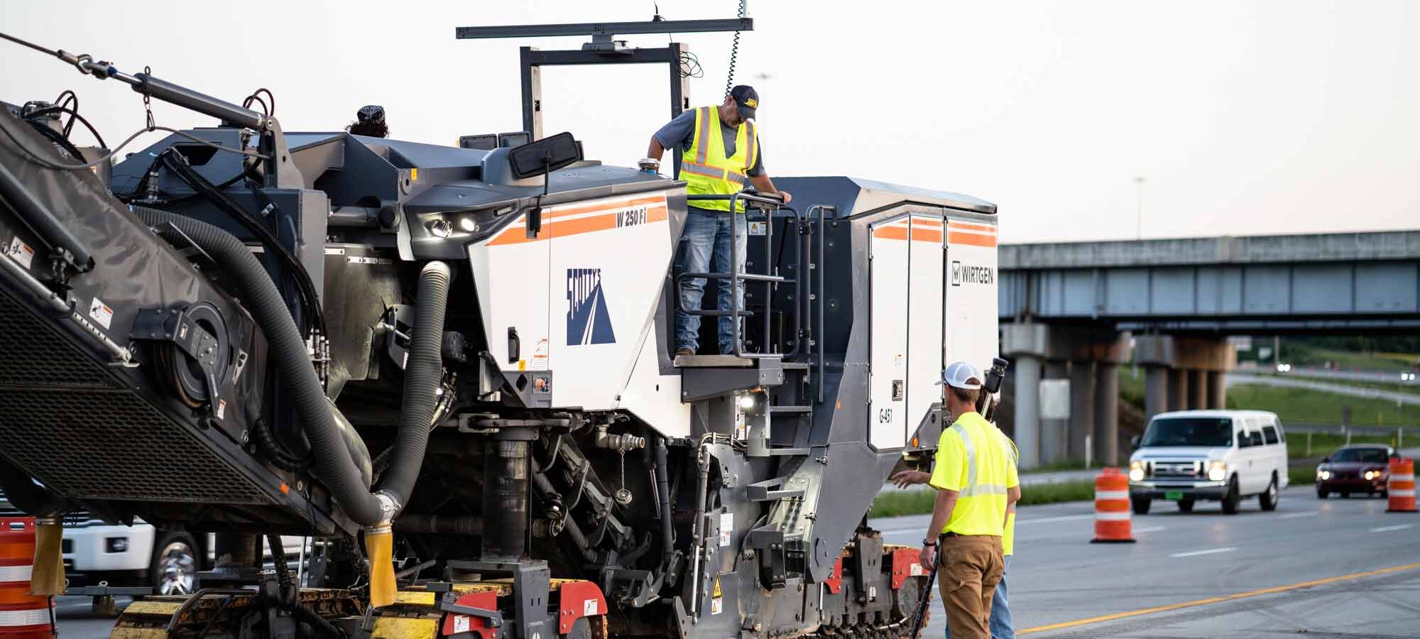
Scotty’s engineering team builds the 3D digital blueprints, validates control points, and uploads them to our GPS-enabled fleet. Because our crews, materials, and hauling are integrated, we can sequence work so trucks, plants, and machines operate in sync.
If your job has changing cross slopes, ramps, super-elevations, or frequent elevation breaks, 3D control prevents the small errors that add up to rework.
A roadway engineer turns intent into constructible detail. They analyze traffic, soils, and drainage, then design alignments, profiles, and pavement structure. In a 3D workflow, they convert those designs into a coordinated model, set control, and plan phasing so construction can proceed safely with minimal traffic disruption. They also evaluate materials and layer thickness to achieve performance targets. At Scotty’s, engineering stays connected to field crews and plants, which allows quick design-change response when conditions vary.
3D machine control benefits both. On a commercial site, it tightens building pad tolerances and reduces undercut. On a highway or interstate, it drives smooth profiles, accurate super elevation, and uniform mat thickness across long pulls.
Across Kentucky, we have applied 3D control on interstate mill and fill, new roadway construction, and commercial site development. The common outcome is fewer change orders tied to survey and staking, and a faster return to normal traffic.
Use this list to judge if your project should include 3D guidance.
If you check two or more, 3D control usually pays for itself through saved materials, time, or both.
These steps do not add complexity; they clarify deliverables and protect budgets.
We plan and execute with one connected team. Our engineers create 3D digital blueprints, our crews build to the model using GPS-equipped graders, dozers, and pavers, and our quarries and asphalt plants supply the right materials on time. Our hauling fleet is GPS-tracked to stage trucks and keep the paver moving. This integration reduces risk, keeps costs predictable, and helps you open lanes sooner. For a deeper look at our tools and approach, explore our intelligent compaction glasgow resource, where technology, training, and field supervision come together.
We scale the same process across Bowling Green, Elizabethtown, and Glasgow for public owners and private developers.
If you want fewer change orders, fewer lane closures, and a smoother final ride, 3D machine control should be part of your plan. Scotty’s Contracting & Stone brings engineering, materials, hauling, and field crews together to guarantee quality at every stage. Learn how we apply 3D guidance on highways and interstates in our roadway engineering service bowling green overview, or see why contractors in Warren County trust our 3d machine control services bowling green case study. If you are evaluating partners for complex corridors, you can also review our interstate builders in bowling green capabilities to align scope, schedule, and traffic requirements.
Summary: 3D machine control replaces guesswork with guidance. With a validated model, GPS-corrected machines, and connected crews, you will reduce rework, protect material yield, and shorten traffic disruptions. Our employee-owners work as one team from design to paving, so Kentucky communities can get safer, longer-lasting roads in service sooner.